
Pam & I enjoyed the stillness of the river and the lack of traffic as we made our way to Lock 25, our first of the day.


We continued our trawler speed journey upstream past a riverside church and the town of Louisiana, Missouri before pulling into 2 Rivers Marina to top off our fuel tanks.


Although we didn't need fuel we decided to top off the tanks since diesel is scarce on the next stretch of river. Not non-existent. Just not convenient.
It was still early enough in the day that we could put some miles behind us so we continued on to anchor behind Gilbert Island (mm 294.2) for the night.

A few fishing boats blew by us while we were anchored but by 9 p.m. all was quiet leaving us to enjoy a good nights sleep.
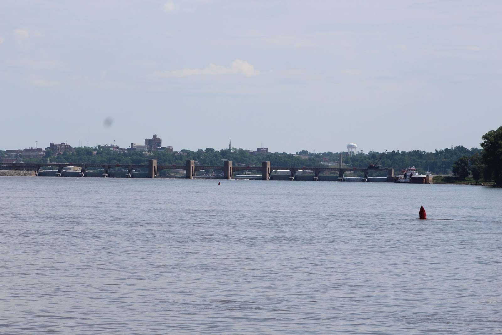
Only a few miles below Lock 22 it didn't take us long to be waiting at it's gates the next morning.

Just above Lock 22 we left the St. Louis Corps of Engineers District and entered the Rock Island District. About that same time our chart plotter quit showing the detailed chart of the river.


While this problem won't keep us from continuing our homeward trip it thoroughly ticked me off since I had purchased an Inland Rivers download chip 2 years ago when we came up to Green Turtle Bay for the summer. That evening I researched the options from Garmin and found that I had ordered and received the product that covered the Upper Mississippi all the way to the Twin Cities. Hmmm! Must be defective.
As it turned out I proved to myself once again that I am technologically challenged. During the night I had the bright idea to get the chip out and insert it once again. Next morning I did and presto! Charts appeared on the screen!
Our travel today took us past Hannibal, Missouri. Probably one of the most widely known towns along the Mississippi but unfortunately one of the least accessible by water.

Years ago Pam & I visited Hannibal in our 35' Sundancer which was stretching the capabilities of the marina at the time. In passing it looks like not much has changed. The town however was a worthwhile stop. We still remember taking the Twainland Tours tour around the area.
Upstream we continued, passing a tow nosed into the shore just below Lock 21 at Quincy, Illinois. Of course he was waiting for his turn at the lock. He wasn't alone. There was also a downbound tow waiting above the lock and one in the chamber. Fortunately we were next in line once the chamber cleared.
Once through we had a heck of a time passing the Show Me State, the towboat that had just left the lock. He was pushing 16 empty barges and had it gassed. (If Tourist passes too fast we have a tendency to put water over the side of the tow boat because of it's low freeboard.)
Finally we got around and continued to Lock 20 where we had a short wait while a barge loaded with farm machinery locked down.


Our weather was good if not downright hot while we journeyed north. There were signs along the river banks that it's not always like the near perfect conditions we enjoyed at the moment.


Just as we eased into Keokuk I heard the lock talking to a towboat that had been switching barges around below the lock. Sounds like we'll have to wait for him to lock through before we get to go. We only have about 2 miles to go before we stop for the night but on the river you win some and you lose some.

The good news is that Lock 19 has a 1500 foot chamber and can handle the whole tow in one lockage. It's also the last bollard lock we'll encounter for awhile.
Once through 19 we only had a mile to go before we pulled into the Keokuk Yacht Club for the night.


Actually KYC is a fun stop mainly because of the members who are friendly and want to help if needed. And the bar stays open late enough to have a drink and get a pizza. If you want more you have to get a ride back to town.

No comments:
Post a Comment