For the past couple of weeks the Mississippi has been swelling as a result of the heavy rains in our area and upstream as far as the Twin Cities. Flash flooding along the streams feeding into the river brought trees, tires, barrels, and plenty of topsoil into the main channel of the river to start it's journey to the Gulf of Mexico. For boaters venturing onto the river it can be like playing dodge ball. There's room to move but you better keep a keen eye or you'll end up with a bruise. Or worse.
Earlier in the summer we had made plans with Kim & Lu and Mike & Nancy to travel north by boat during this time. Kim and Mike had taken time off work never dreaming that our plans could be thwarted by an autumn flood.
As the time approached we weighed our options and decided to give it a try. The current in the river really wasn't any worse than we've experienced before on our travels. The challenge would be the amount of junk that we'd be facing. Let's go!
Our first stop wasn't far from home. We anchored below Lock & Dam 11 behind some islands that are normally inaccessible with our boats. The current was minimal and the water relatively free from debris thanks to the filtering effect the islands around us created.
Following are some photos from our flood time.
Anchored where we normally can't go with Mike & Nancy and Kim & Lu.
Mike & Nancy looking for treasures.
Our view looking south.
Kim & Lu disturbing the seagulls at Dubuque Marina.
Just a tree making it's way down river.
After couple of days at our first anchorage Kim & I decided to give it a try and head upriver. If it was too bad we'd turn around. Mike and Nancy stuck to their original plans to return to their marina. So off we went.
Locking thru 11 was just a formality. Pull in. Grab the lock lines. Lower gate closes and within a couple of minutes the upper gates open and out we go. And that's how it was except for the lock attendant who moved at the speed of a snail when he made the 600' walk from one end of the chamber to the other.
Debris in the water a few miles above Lock 11.
That's a narrow channel between the red and the green!
We made our way upstream at trawler speed picking our way through the pockets of debris. As luck would have it we came up on a 15 barge northbound tow at one of the narrower parts of the channel. We asked which side he wanted us to pass him on and he said on his port side. Of course once we had a clear shot looking up his port side it appeared as though we were going to be pushing trees out of our way with no where to go. Barge on our right. River bank on our left. Junk coming at us!
Fortunately the debris stayed closer to shore giving us a path to get by the tow.
Not wanting to bite off too much in one day we decided to call the Municipal Marina in Guttenberg. Pam & I had stayed there last year with Mike & Nancy and knew that it offered protection from the current & debris of the main channel. We just had to get there by 5. We made it by 4:30!
Guttenberg Municipal.
Vagabond surrounded by duckweed.
Tourist livin the good life in the clear!
The parking lot for the boat ramp.
Usually boats in the marina can not see over this cement walkway.
The view looking over Landing 615 fuel dock towards L & D 10.
Lu & Pam smiling after a Packers victory! (Or maybe it's from spending 3 hours in a bar!)
We spent a couple of nights in Guttenberg watching the water rise and debris float past.
Making it's way south.
I think that's an island passing by!
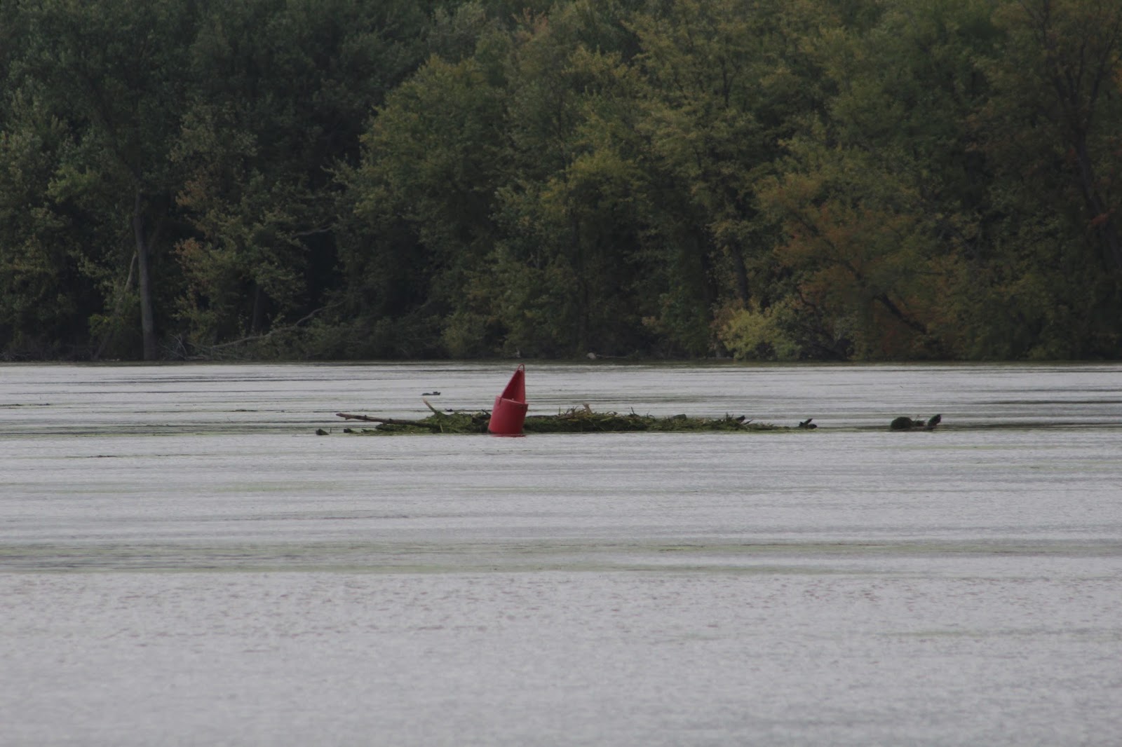
Trees taking out a red buoy.
After weighing our options we decided to abort our quest to keep going north and head back to our original anchorage below Lock 11.
Cassville, Wis. power plant a victim of the anti coal movement.
The Pride of Cassville ferry idled by the flood.
The mostly submerged ferry landing on the Iowa side of the river.
Canoeists on their way to New Orleans. And we thought we were nuts!
Pirates Pit Stop gas dock near Waupeton surrounded by water.
Where the hell is Waupeton?
Vagabond above Lock 11.
We arrived at the lock just as a northbound tow was exiting which allowed us to cruise right into the chamber. This time it was a different attendant who seemed to enjoy his job and made short work of getting us through.
It was just a mile downstream where we turned in behind the islands once more and dropped the hook.
The water had risen since we were last in here a few days earlier. Now completely over the islands it stirred our inner Huck Finn to get the inflatables and go exploring.
There must be a way through here.
Kim & Lu waiting to see if we get through.
We got through and popped out of the woods near this elevated camp.
Just above the camp is Lock & Dam 11 with the roller gates wide open letting the water flow unimpeded to the Gulf.
We took a less obstructed route back to the boats and found this red buoy resting in the trees.
Tourist resting comfortably.
Evening skies.
The next day both crews decided to stop in at our respective marinas and take care of some boat needs before moving on to our next anchorage.
While passing through Dubuque it was evident that the river was at or above flood stage because the excursion boats were moored outside of the Ice Harbor which closes it's flood gates when the water reaches a 16.5 stage.
Once at the marina I went to take trash to the dumpster and found that our ramp to shore was under water.
One of the ramps underwater.
Our ramp with the temporary planks spanning the water.
With our shore side mission accomplished we headed back out to anchor in another spot that only high water will allow access to for our boats.
Hidden deep in the island.
Even though the wind was gusting to 25 mph we had barely a ripple on the water where we anchored which made for a great nights sleep.
The next day we were back pretending to be Huck Finn again.
Dead end!
Maybe not this way?
Hmmm. Which way do we go?
Backwater statues.
How did they get here?
Don't stand in a moving boat!
More backwater scenery.
Over the transom view.
Catfish Bob out wandering around.
Catfish Billy making sure Bob doesn't get lost!
Isolated boats at Massey Station.
Massey Marina.
Massey Marina.
Massey boat ramp.
Once again we were joined by Mike & Nancy who thought we may be pulling a prank on them when they couldn't see us anywhere.
Dixie had no mercy on Mike and made him run her to shore before nightfall.
Here are a couple of random shots taken over the last few weeks.
Two eagles on the beach behind our boat discussing just who gets that tasty dead fish for dinner.
Northbound American Queen below Dubuque. With the water rising at the time of this photo the Queen changed her itinerary and made a bee line to Red Wing, Mn.. As of this writing it still hasn't come back downstream as far as Dubuque.