Our stay at Green Turtle was a good one as it always is. So much so that for a few moments we thought about stopping right here for the summer. But then I saw the river levels on the Mississippi dropping and our thoughts of staying quickly vanished.
My gauge for going or staying put is Cape Girardeau, Mo. Flood stage is 32'. I like to see a decreasing trend of river stages before we depart. Usually that doesn't mean much less current but it normally will mean less debris in the water. The forecast stage for Sunday was 28'. That's 4' lower than when we arrived at GTB. Time to go!
(I also check the St. Louis stage and others as well as try to keep track of the weather around the Missouri, Illinois, and Upper Mississippi Rivers for any significant rainfall that could effect our travel.)
Normally we travel alone however this time we would have a companion. Pam met Larry in the laundry at GTB who stated that they had been waiting for 2 weeks for the Mississippi to recede. When I met him he asked if we would like a buddy boat. M/V Lady KK is a 54' Viking motoryacht with a couple of big hp MAN engines. Keeping up to Tourist would be no problem for them.
We discussed travel plans and stop overs as well as picking a time of 5 a.m. for departure.
The sun was just peeking over the docks as we pulled out of GTB.
When heading north from GTB my first choice is to use the Kentucky Lock on the Tennessee River because it cuts roughly 20 miles off the days travel. The unfortunate side of that is that most of the tow traffic uses it also. Such was the case this morning with an estimated back up of 3 hours. Barkley Lock here we come!
As we pulled into the channel I heard a tow announcing that he was entering the Cumberland River from the Barkley Canal and would be heading downstream. The same way we're going. I quickly called the lock and had the door slammed shut on our early departure. Not because of the towboat but because of dense fog in the river valley below. No lockages for anyone until it lifted.
Beautiful sunrise over Lake Barkley. What fog?
As we waited the fog crept over the lock. So that's what he's talking about.
Lady KK floating above Barkley Lock.
The fog finally lifted and we were allowed into the lock for the 50' ride down. We lucked out since there was an up bound tow waiting just below the lock.
We had decided to travel downstream at our usual rpm's that gives us trawler speed and conserves fuel and then hit it if we need to when we turn up the Mississippi.
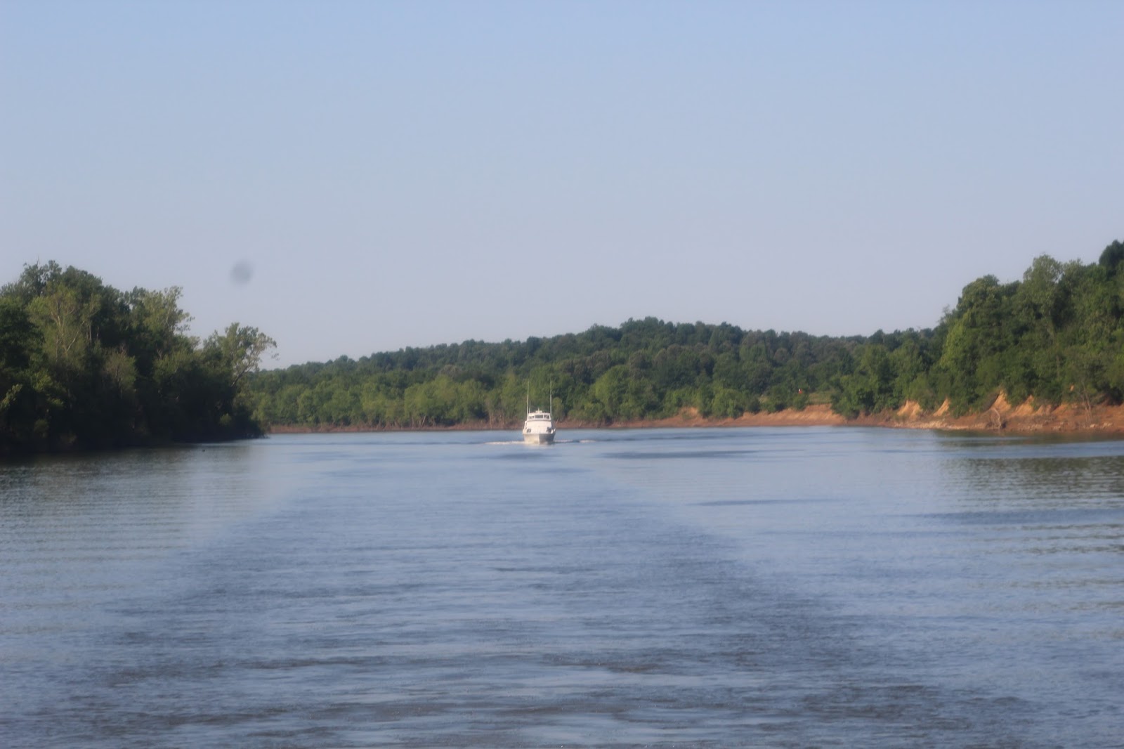
Lady KK following us down the Cumberland.
There is some industry along this stretch of the river.
The last leg of the Cumberland with the Ohio beyond the two cells.
This is what the junction looks like on our plotter. Our icon can be seen coming from the lower left side of the screen. The navigable junction is at the tip of the island which appears at the upper part of the screen. In actuality it is the downstream side of the island.
About where the icon appears on the above screen shot is where the water started turning to a muddy brown as the two rivers started to intermingle.
You can kind of see the different colors of the two rivers.
Just downstream from the junction we passed the old Harrah's Casino boat that used to be docked along the Ohio at Metropolis, Illinois.
Continuing downstream we cruised past downtown Paducah, Ky. Even though the river was up it still can get much higher as evidenced by the floodwall built atop the levee.
Not long after passing Paducah we arrived at our first lock on the Ohio. Lock 52. One of the busiest locks on any navigable U.S. waterway. Lucky for us the wicket was down and we drove right over it. The picture shows the Corps of Engineers boat hosing the mud off the top of the lock wall since it had just reappeared when the river started to recede.
We were making good time cruising at 12 mph since we were going with the current and in no time we were passing Metropolis, Ill. and the replica of Fort Massac pictured above.
Our next lock was lock 53 which will be replaced by the new Ohlmstead Lock which is under construction. Again we passed over the dam and were given instructions as to how we should proceed through the upcoming construction area.
Ohlmstead Lock. We passed to the left of all of this.
Coming into Cairo, Ill. This is a huge barge transferring point for goods coming from the Ohio, Tennessee, Cumberland, Upper & Lower Mississippi rivers. Certainly not a place to be asleep at the wheel.
Still on the Ohio. If we go straight ahead we'll end up in New Orleans. To the right just past the barge on the right is the start of the Upper Mississippi.
We came around the point on our right and had our speed cut from 12 to 6 mph when we hit the current of the Mississippi!
Still with 40 plus miles to go for the day it wasn't long before we kicked up the speed to get us there while it was still daylight.
This really is water and not a farmers field.
Not long after we increased speed I spotted our first submarining buoy. It was a red that just left a slight trail in the water after it submerged. Keep watching the trail and up it struggles again only to submerge once more. Why it doesn't give up like so many of it's comrades and just float off into a debris pile is beyond me.
The current below St. Louis is fast. Logs and other debris comes at you just as fast requiring a sharp lookout at all times. We were lucky. It was as I had hoped it would be since it was receding and presented very few obstacles for us to dodge.
Tow traffic was average with both north and southbound traffic. And some of these tows are 36 and even 42 barges in size. Trying to pass one in the same direction takes about as much time as driving through Chicago!
As wide as the river is below St. Louis there are some narrow spots in the channel that require contacting the tow for instructions as to how and where he wants you to meet or pass him. They appreciate a call on vhf channel 13.
We kept our speed up and made it to the Little River Diversion Canal mm 48.8, just below Cape Girardeau, Mo. before dark.
Diversion Canal. Not very scenic but a nice respite from the swift waters of the big river.
Lady KK anchored in the canal with the American Pillar towboat passing just outside pushing 36 barges.
Following a peaceful night of rest we push on passing Cape Girardeau.
The mighty Miss. Looks harmless doesn't it?
During high water Mother Nature will park your boat for you!
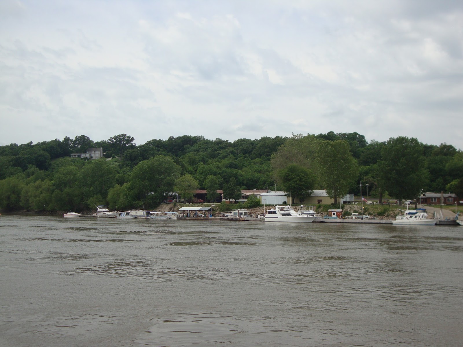
Peaceful setting along the Missouri shore.
Wing Dam. Watch out for these guys. Not all are marked and most are below the surface!
5 barges wide headed south at Chester, Ill.
The Illinois Governor's Mansion (aka. Menard State Penitentiary) at Chester, Ill.
Our days travels halted at the Kaskaskia River mm 117.3 where we turned in and tied up on the backside of the floating lock wall at Kaskaskia Lock.
The lock allows overnighting but does not allow going ashore beyond the lock wall since 9/11.
Another good nights sleep in calm waters and we were on our way.
Some of the debris left over from high water. Check out the number of buoys in the pile.
Dancing waters.
Is this a ski jump or a slide into a swimming pool?
Occasionally you can find a good used tire swimming past.
Oh Oh! The fuel gauge needs attention.
We made it to Hoppie's. That's me and Larry with Fern (seated). This place is a must stop if traveling this way and Fern is known far and wide for her knowledge of the river in this area. We pumped a little over 300 gallons of diesel into our 500 gallon tank. Plenty of reserve.
Hoppie's as we continue our journey north.
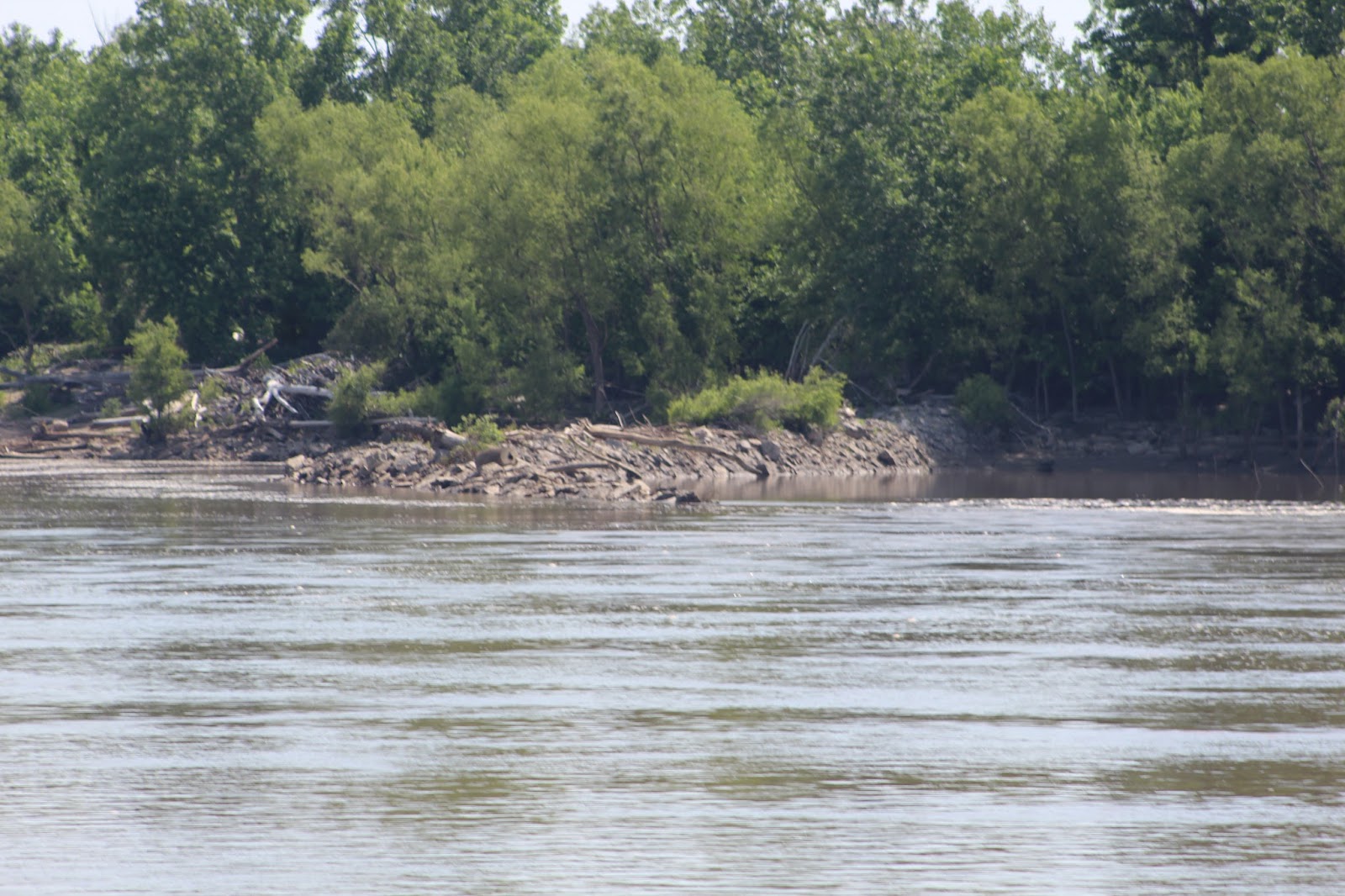
More evidence of the power of the river.
Our welcome to St. Louis!
We worked our way through the fleeting area on the south side of town to be rewarded with this view of the Arch.
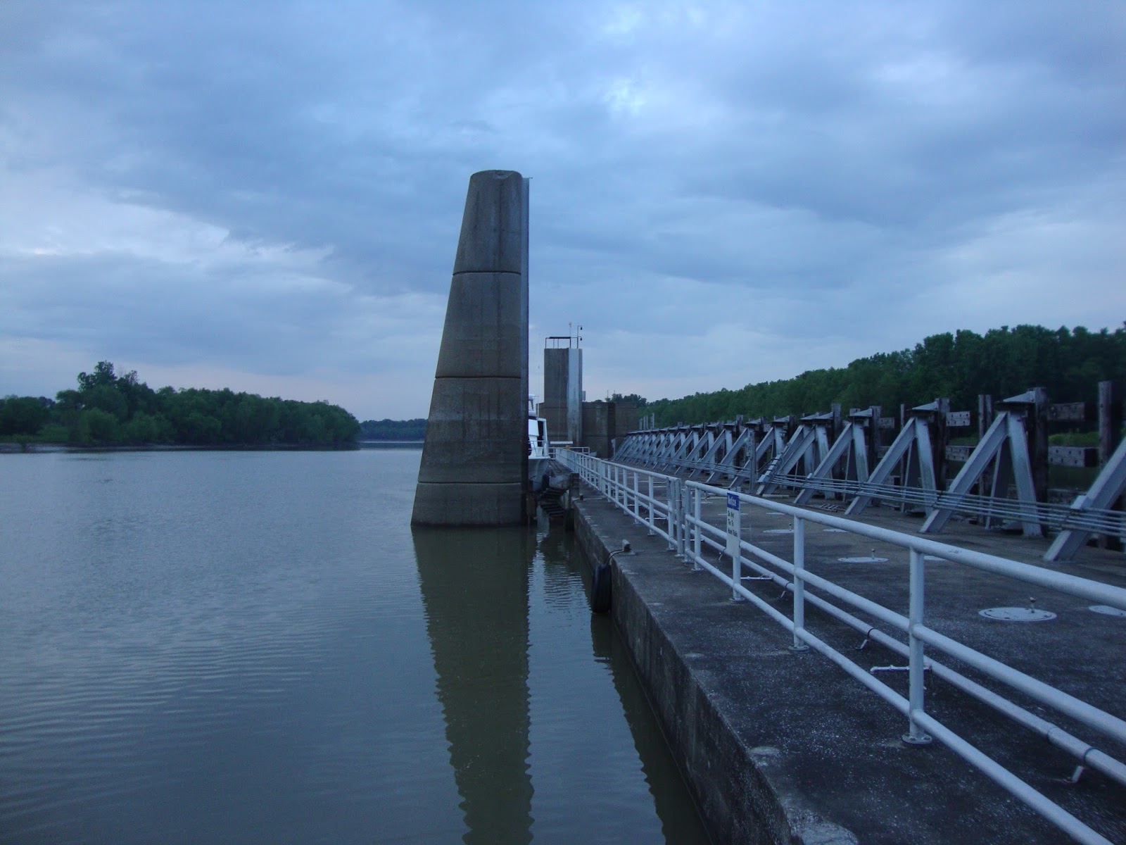
Lock 27. Our first lock on the Mississippi. The gate in front of us lowers to allow passage.
Chain of Rocks Canal built to allow passage around the huge rapids in the river.
Above the canal is Wood River and a large repair area for the towboats.
We travelled through The Mel Price Lock (#26) and into the Alton, Ill. marina located just beyond the above bridge. The wildest part of the river now behind us.
Once in the marina it took awhile to sort out some dock power issues but the staff worked tirelessly to make sure we were taken care of.
The next morning we said goodbye to Lady KK. They were headed up the Illinois River and on to Sturgeon Bay, Wis. We pulled out and headed to St. Charles, Mo. for an appointment with a Cummins mechanic for some routine maintenance.
Tuesday, June 21, 2016
Tuesday, June 14, 2016
Which Way Did We Turn??
Well in spite of my efforts to turn right at the Tennessee River junction Tourist didn't respond to my command and turned left. Downstream we go!
Actually Pam & I changed our plans somewhere on the Tombigbee. Knoxville and Tellico Lake will have to wait for another time. We're going home. Only one main concern goes with that decision. What condition is the Mississippi in. It's Spring so you know there's going to be plenty of water and current. The question is how loaded with debris will it be? And so the weather and river level watch begins.
But before we get that far we had a wonderful cruise down the Tennessee enjoying the greenish hued water. We anchored behind Denson's Island . Stopped at Pebble Isle Marina, and anchored again in a favorite of ours, Duncan Bay, before going into Green Turtle Bay for a few nights.
Homes dot the hills after turning onto the Tennessee.
Waiting to lock down above Pickwick Lock.
I was concerned about this bucket on top of the bollard in the lock. The lockmaster informed me that it was attached to the bollard and contained a bottle of compressed air that could be used to re-float the bollard if it sank. Never saw that before!
After a 54' drop the gates opened and we were headed north while going downstream.
A few miles below the lock we spotted these two trying their luck. I wonder what's in the cooler?
The flag over Shiloh battlefield.
The Catfish Hotel which we discovered in 2008 on our first time through the area.
The height of these cottages gives an idea of how high the Tennessee can get.
We're starting to see more of the bright colors on fishermen which makes them easier to see from a distance. A great idea that I hope more adopt.
Maybe no longer politically correct but you never forget what part of the country you're in while on the Tennessee!
Bluffs along the Tennessee.
On our first trip through the Perryville area I thought this tug was just being repaired. That was almost 8 years ago and it hasn't moved! Guess I was wrong...
Fortunately this dredge was idle for the weekend when we dropped the anchor behind Densons Island at mm 125.5.
We were entertained by this group who were bow fishing near us. Even the girls got up with pink bows and had a go of it.
After a peaceful nights sleep we woke up to 43 degrees and fog. Can you spot the towboat and it's 15 barges in the photo?
How about now? He was nosed into the shore about a half mile below us.
Once the fog lifted we made our way 30 miles downstream to Pebble Isle Marina where we took on some fuel and sat out a small front that was moving through.
During the fall Looper migration they have free sweet rolls in the morning. Not so in the spring. I checked!
Their entrance sign if arriving by land.
Tourist at the transient dock.
Once the front passed we moved on passing the old loading dock that somehow still stands.
And the nearby car ferry that still operates.
We spotted what appeared to be bird houses along the shore but as we got closer it became evident that they were condo's!
Kenlake Lodge nestled in the trees.
New highway bridge being built near Kenlake Lodge. The old bridge is the lower structure which was hit by a car carrying ship a few years ago.
Tourist continued downstream all the while heading north on Kentucky Lake.
We couldn't pass this way without anchoring in one of our favorite coves just off Duncan Bay for a couple of nights.
It's not far from Duncan Bay into Green Turtle Bay. Take a right at the Barkley Canal which connects the Tennessee and Cumberland Rivers and upon exiting that it's just 2 lefts and you're there!
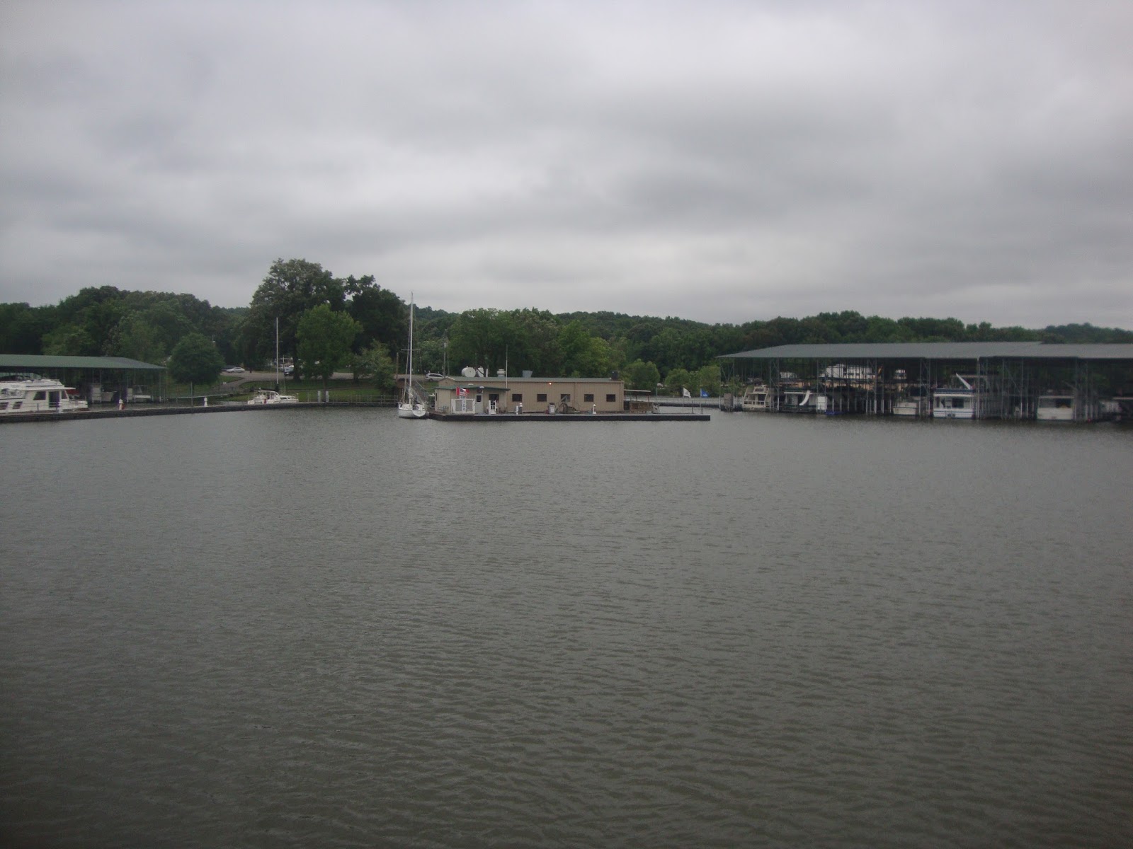
Looking over the marina from the ship's store. (www.greenturtlebay.com)
This marked our 6th time at GTB including the summer of 2014. It feels like home. We were able to re-connect with some of the locals who we have met over the years and of course take advantage of the Commonwealth Yacht Club!
While at GTB we used the courtesy car to head into Paducah for lunch and to resupply the galley. I even squeezed in a haircut. We also stopped at the local grocery in Grand Rivers which had just been purchased by Bill Gary, the owner of GTB while we summered here back in 2014. It was nice to see fully stocked shelves and an active Deli . A sharp contrast to the old IGA that it used to be.
Of course no downtime goes without a project. This is the original belt from our genset. It didn't break but when I found this while doing an oil change it left me no choice but to replace it.
The river watch continues. You may remember that back in the spring of 2009 we arrived here in late May and didn't get home until July 1st due to high water on the Mississippi. Will that be the case this time??
Actually Pam & I changed our plans somewhere on the Tombigbee. Knoxville and Tellico Lake will have to wait for another time. We're going home. Only one main concern goes with that decision. What condition is the Mississippi in. It's Spring so you know there's going to be plenty of water and current. The question is how loaded with debris will it be? And so the weather and river level watch begins.
But before we get that far we had a wonderful cruise down the Tennessee enjoying the greenish hued water. We anchored behind Denson's Island . Stopped at Pebble Isle Marina, and anchored again in a favorite of ours, Duncan Bay, before going into Green Turtle Bay for a few nights.
Homes dot the hills after turning onto the Tennessee.
Waiting to lock down above Pickwick Lock.
I was concerned about this bucket on top of the bollard in the lock. The lockmaster informed me that it was attached to the bollard and contained a bottle of compressed air that could be used to re-float the bollard if it sank. Never saw that before!
After a 54' drop the gates opened and we were headed north while going downstream.
A few miles below the lock we spotted these two trying their luck. I wonder what's in the cooler?
The flag over Shiloh battlefield.
The Catfish Hotel which we discovered in 2008 on our first time through the area.
The height of these cottages gives an idea of how high the Tennessee can get.
We're starting to see more of the bright colors on fishermen which makes them easier to see from a distance. A great idea that I hope more adopt.
Maybe no longer politically correct but you never forget what part of the country you're in while on the Tennessee!
Bluffs along the Tennessee.
On our first trip through the Perryville area I thought this tug was just being repaired. That was almost 8 years ago and it hasn't moved! Guess I was wrong...
Fortunately this dredge was idle for the weekend when we dropped the anchor behind Densons Island at mm 125.5.
We were entertained by this group who were bow fishing near us. Even the girls got up with pink bows and had a go of it.
After a peaceful nights sleep we woke up to 43 degrees and fog. Can you spot the towboat and it's 15 barges in the photo?
How about now? He was nosed into the shore about a half mile below us.
Once the fog lifted we made our way 30 miles downstream to Pebble Isle Marina where we took on some fuel and sat out a small front that was moving through.
During the fall Looper migration they have free sweet rolls in the morning. Not so in the spring. I checked!
Their entrance sign if arriving by land.
Tourist at the transient dock.
Once the front passed we moved on passing the old loading dock that somehow still stands.
And the nearby car ferry that still operates.
We spotted what appeared to be bird houses along the shore but as we got closer it became evident that they were condo's!
Kenlake Lodge nestled in the trees.
New highway bridge being built near Kenlake Lodge. The old bridge is the lower structure which was hit by a car carrying ship a few years ago.
Tourist continued downstream all the while heading north on Kentucky Lake.
We couldn't pass this way without anchoring in one of our favorite coves just off Duncan Bay for a couple of nights.
It's not far from Duncan Bay into Green Turtle Bay. Take a right at the Barkley Canal which connects the Tennessee and Cumberland Rivers and upon exiting that it's just 2 lefts and you're there!
Looking over the marina from the ship's store. (www.greenturtlebay.com)
This marked our 6th time at GTB including the summer of 2014. It feels like home. We were able to re-connect with some of the locals who we have met over the years and of course take advantage of the Commonwealth Yacht Club!
While at GTB we used the courtesy car to head into Paducah for lunch and to resupply the galley. I even squeezed in a haircut. We also stopped at the local grocery in Grand Rivers which had just been purchased by Bill Gary, the owner of GTB while we summered here back in 2014. It was nice to see fully stocked shelves and an active Deli . A sharp contrast to the old IGA that it used to be.
Of course no downtime goes without a project. This is the original belt from our genset. It didn't break but when I found this while doing an oil change it left me no choice but to replace it.
The river watch continues. You may remember that back in the spring of 2009 we arrived here in late May and didn't get home until July 1st due to high water on the Mississippi. Will that be the case this time??
Subscribe to:
Posts (Atom)