Tuesday, May 3, 2016

Appalachicola to Dog River (Mobile)

Wanting to get an early start we were up and ready to go by 6:30. Then we looked outside. I couldn't even see the channel of the river! Fog!

Our view at 7:30!

After breakfast and more waiting we finally got away from the dock at 9:40. The GICW travels across the Panhandle using a series of rivers, lakes, and man made canals. Fortunately there are few bridges to impede the progress of Tourist.

This RR Bridge just out of Apalachicola has always been open when we've traveled this way.

 Thankfully our charts showed an exit in those trees once we crossed Lake Wimico.

Our exit took us into Searcy Creek.

A few miles later we were passing the free docks at White City. This stop gets used a lot during the fall migration south.

We had heard there was dredging at the Port St. Joe canal junction. Hope he moves that pipe!

More evidence of a dredging operation.

This guy was moving equipment when we came through.

They must of expected a lot of traffic over the weekend since the dredge was off to the side and not working.

Further down the line we witnessed what happens when you forget to put the plug in!

We made our way to Panama City and St. Andrew's Marina. Certainly not a high end place but good fuel prices and close proximity to several restaurants. Our favorite is The Captains Table. Not fancy and very little signage but a waiting line for a table tells all.

We started at the bar with a dozen raw oysters cracked right in front of us. Moving to the dining room we shared another dozen Cajun baked oysters and a couple of appetizers. Then it was back to the bar for what we agreed would be a half dozen raw as desert! Oops! I ordered a dozen which turned out to be 14. Stuffed but worth it we waddled back to Tourist! (Sorry we were too busy eating to take pictures.)
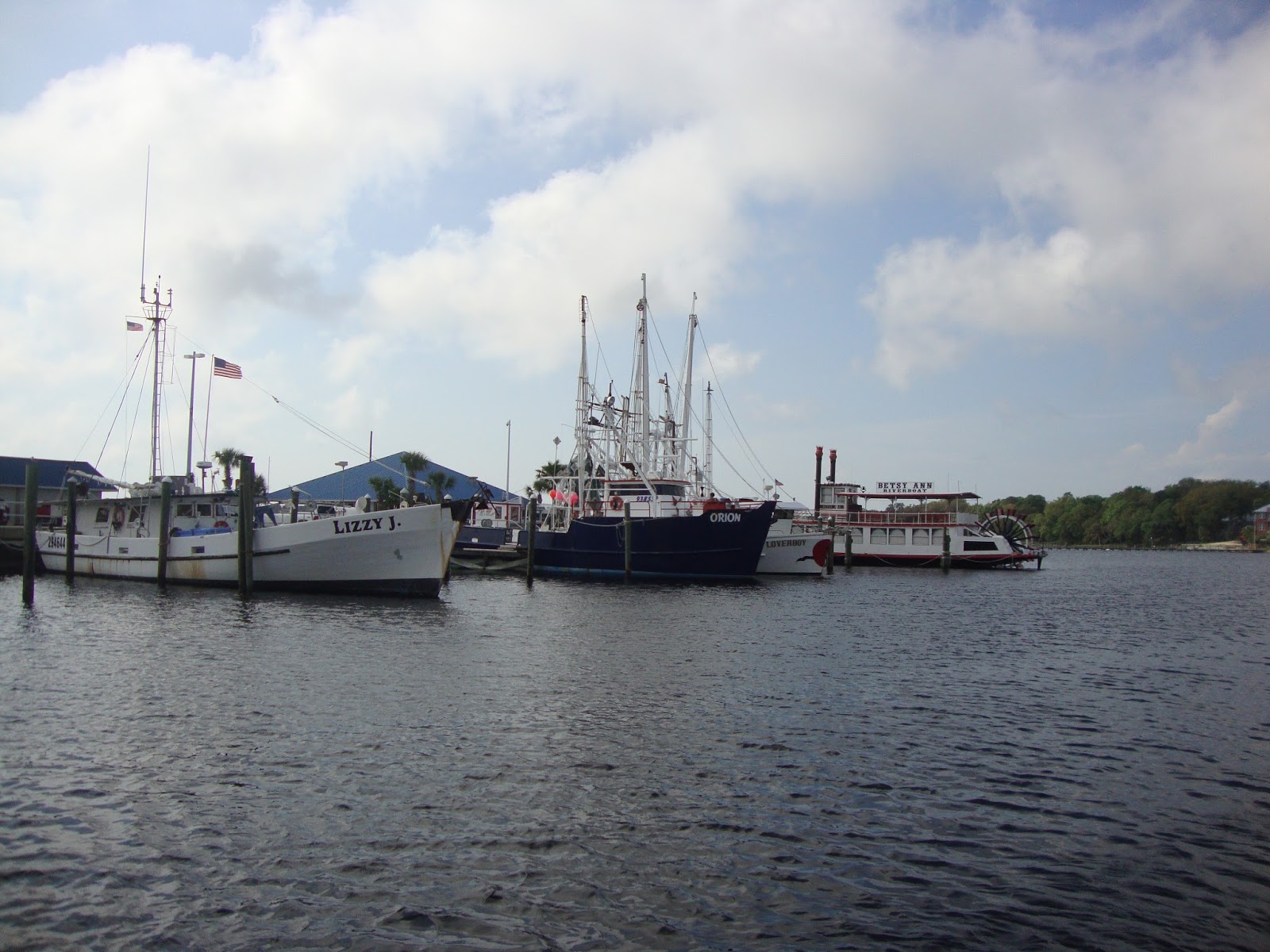
Some of the shrimp boats docked at St. Andrew's.

Next day we woke up to fog once again. Fortunately it lifted by 8 a.m. Oh by the way. We realized we were now in the Central Time Zone. Thank you cell phone!
As seems to be the recurring theme this trip across the Panhandle we were facing threatening afternoon thunderstorms, some which could be severe. Protected anchorages are few and far between and marinas just weren't spaced apart far enough to my liking. Normally we would anchor at Destin or Ft. Walton Beach but we hoped to get further. With a look at the chart we decided to take a shot at getting to Pensacola before the weather that was showing on my weather app got there. The race was on.

Our wake cruising through West Bay Creek still at trawler speed.

Went past what in 7th grade would have been my dream home!

Once on Santa Rosa Sound we caught and passed this towboat.

As we neared Pensacola we found the Pensacola Beach Marina located on the southwest side of the causeway that leads to the beach. Perfect for winds that were forecast to be from the southeast. A call confirmed one last space available at this mostly commercial fishing marina.

The entrance to Pensacola Beach Marina.

We were on the T-head along with a sport fisherman that got towed in.

This piling was pointed out a number of times to us. Seems that a Hatteras was parked in our spot a couple of weeks ago when a strong west wind caused it to chew up this piling. Apparently the piling also caused damage to the Hatteras. Thanks guys! We'll sleep well.
Fortunately once again the storm that was ripping to the west of us dissipated and was a non event for us. Whew!

After the 99 miles we covered the previous day we both thought we'd make this a shorter run. Every time we've travelled this way we have gone by the Wharf Marina in Orange Beach, Alabama. Always we would comment that we should stop there sometime. This was the time.

At the entrance to Pensacola Bay we passed Fort Pickens. Completed in 1834 and used until 1947 it is now on the National Register of Historic Places.

Check out the guns waiting to fire at enemy ships.

Once past Ft. Pickens and the Pensacola Inlet you find these range markers which will line you up for re-entering the GICW west bound.

Just outside of Perdido Key we spotted this dynamic duo who apparently just use the boat as a cooler.

Some colorful condos at Perdido Key, Fl.

Another 10 miles and we were pulling into the Wharf Marina. Not just a marina, this place reminded us of Myrtle Beach on a smaller scale. There is even mini golf and a ferris wheel. We enjoyed dinner at Montego's. The burgers were great and the duo entertaining even better.

We decided to stay another day since the forecast was calling for strong storms through Tuesday.

Tourist resting at The Wharf.

Palm trees and shops at the Wharf.

The Ferris wheel wasn't running during our stay. Dang!

It was nice to have a rest day but soon it was time to move on. Still the threat of p.m. storms in the forecast got us on the go early. We were out of there before 7!

 
One of our favorite sections of the GICW.

Barge fleeting? This is new along this stretch.

We passed by Saunders Yacht Works.

And of course Lulu's.

This development has never been completed.

This crowd was looking for a deck of cards when we went by.

These guys followed us as we crossed Mobile Bay. I swear I heard one of them ask Pam for some popcorn!

A crabber and his flock.

Mobile Bay traffic.

More traffic.

And still more traffic.

We had an easy crossing running into the waves from the NW. As usual the channel into Dog River is still shallow making for a cheek puckering experience!

Under the bridge and we're at the marina.

Our first order of business was to fuel and pumpout. Once that was accomplished we moved to our place on the dock, which by the way was free since we belong to the AGLCA and had taken on fuel!

We also found out that their courtesy car had been wrecked in February and had not been replaced. Lucky for us we were able to use the company pickup for our Wal-Mart run.

Nice wheels!

Back at Tourist we were able to watch the variety of fishermen who always seem to fish in this area.

We were right across from The Grand Mariner Marina & Restaurant where we have stayed a time or two.

It was nice to see the happy hour crowd still gathers under the deck!

The weather is supposed to improve tomorrow so we'll be starting our journey up the Tenn-Tom. I can almost hear the banjos playing now.


Friday, April 29, 2016

Weather to go or Not!

Since we're moving up the West side of Florida most of our travel has been in the protected waters of the ICW. Overall it's been good traveling but our eye has always been on the conditions for crossing the Gulf from Clearwater to Carrabelle, a 170 mile run over open water completely out of sight of land. When we pulled out of Legacy it looked like Tuesday was going to be the day according to the weather sources I use. (www.marv'sweather.com), (www.passageweather.com), as well as the N.O.A.A. web site. As we progressed along our route it remained looking like Tuesday was the day.

Just down river from Legacy we spotted the Nina & Pinta replicas.

We made our way through the Miserable Mile and turned North passing Useppa Island.

Opposite Useppa is Cabbage Key.

We continued past Cayo Costa State park and were soon going under the new Boca Grand bridge.

Our first night was spent at an anchorage at Cape Haze.

Tourist moved along under the bridges and managed to dodge the weekend warriors who became thicker as we neared the Tampa area. We pulled into Clearwater Beach Marina on Sunday. After topping off the fuel tanks we took a slip for what we thought would be a 2 night stay.

Somewhere South of Venice we passed this abandoned vessel.

We also had this knucklehead pull right out in front of us and then proceed at a speed that I could only duplicate by putting the shifters in neutral!

Just above Venice we passed Pelican .

We had to wait for traffic to clear before we could pass through the Blackburn Point swing bridge.

A typical CF Saturday!

Passing by Sarasota.

Night two found us anchored on the lower side of Tampa Bay at Desoto Point.

Sunshine Skyway over Tampa Bay.

Looking from our slip towards Clearwater.

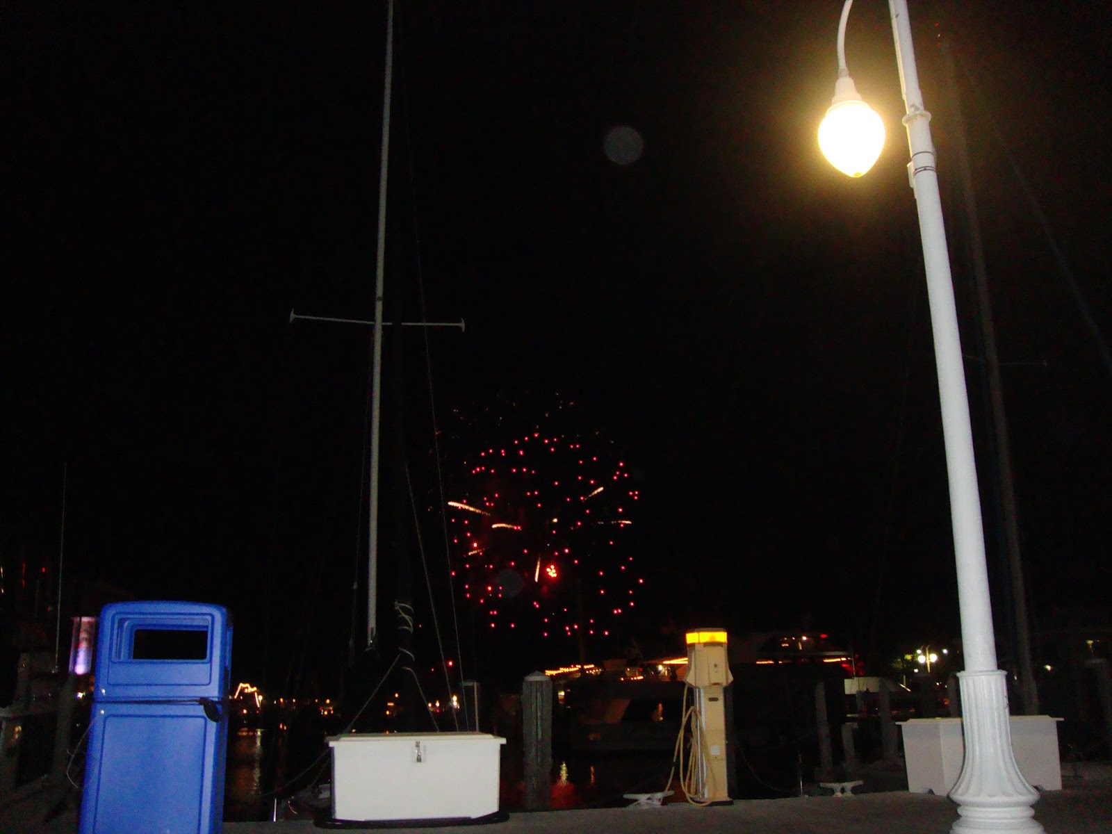
The nice community had a fireworks display for our arrival!

That night the wind kicked up and the tide shifted making for an unpleasant night for both us and Tourist. By morning we had made the decision to move to Clearwater Harbor Marina for the next couple of nights. That's right. The forecast changed. Now it looked like we may not cross until Friday!

Our empty slip at the Beach Marina.

Our new slip. Much better.

Apparently no one is home?

Monday Pam spent doing Laundry while I cleaned Tourist. Tuesday we walked downtown Clearwater and had lunch before boarding the water taxi and riding back over to Clearwater Beach.

Street art downtown.

More downtown art.

And even more downtown art!

Scientology has a huge presence in Clearwater. This being only one of the buildings they occupy.

 The water taxi docked just behind Tourist.

They had just completed the Sugar Sand Festival on the beach before we arrived.

Clearwater Beach.

Arrrgh! Pirate's on the horizon.

By Tuesday evening it still appeared that Friday would be the smoothest day for a crossing but Wednesday was showing better than before. Forecast winds around 10 knots from the South and seas ranging from 1' to 3' the further North we went. The good news was that the waves would be coming from the South also and that we could run a route more to the East and find smaller seas. Wednesday seemed like an acceptable day.

Morning came and after stopping at the pump out dock we pointed the bow out the pass.

Looking back at Clearwater Beach as the sun comes up.

Our view for the next 170 miles.

7 and a half hours later we were coming through East Pass just South of Carrabelle, Fl.

We went straight into town and took on 307 gallons of diesel.

C-Quarters Marina. Nothing fancy but it's easy in and out and good fuel prices. Also this place has a front porch crowd that would rival the troop that gathers every morning at Legacy!

We made our way back out to the anchorage behind Dog Island to relax and maybe have a cocktail.

The anchorage shown as Shipping Cove on the charts.

The crossing was as forecast with the last 40 miles giving us 3 foot swells from the Southwest topped by 1' waves from the South. While the ride was rolly towards the end it wasn't nearly as uncomfortable as if we were plowing into them. Tourist remained dry throughout the trip.

Thursday we started out intending to make our way to Panama City but as we neared Apalachicola technology got in the way by way of the weather app on my cell phone. Radar was showing a huge storm with plenty of red moving across the Gulf Coast. After a lot of calculation we decided not to chance running into it and found a slip along the wall owned by the Municipal Marina.

Found this bald eagle guarding the ICW in St. George Sound.

At the next marker we found this guy just loafing!

Under the bridge and we're in Apalachicola.

Well curses! We hung out at the boat most of the day doing boat chores and waiting for the storm to arrive. Occasional looks at the radar still showed it but in an increasingly smaller size. It was beginning to look like a wasted stop. That was until we took the marina supplied golf cart for a ride around town. This is when the stop went from wasted to beneficial when Pam found a couple of clothing items in one of the shops!

Our last stop was at the Boss Oyster House for dinner.

From the boats.....

To our table. Yumm!

The bar may be a little hokie.

Waterside dining. Just don't feed the birds!