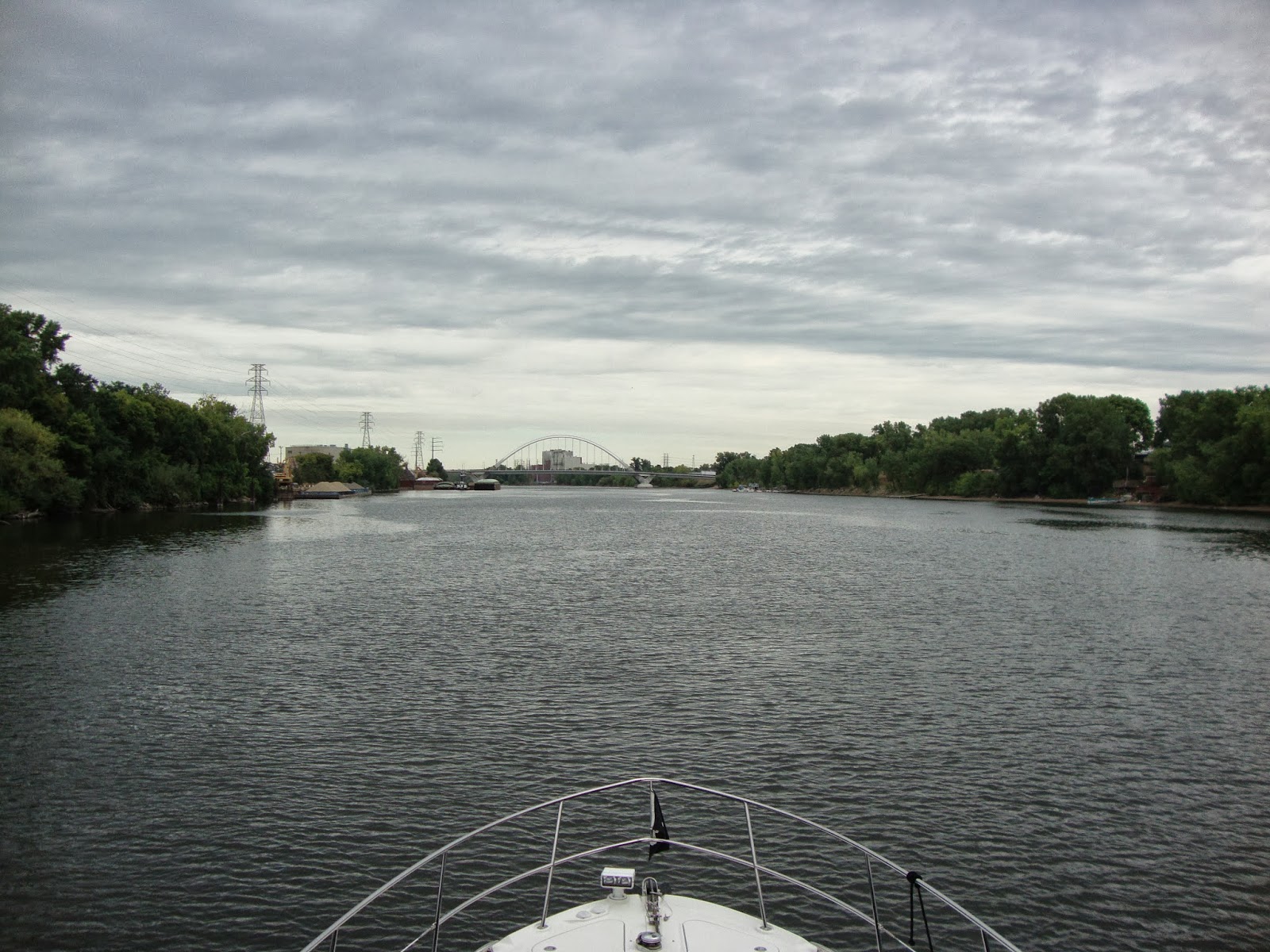
For many years our boating centered around a 30 mile radius of Dubuque, Iowa. Mile 580 on the Upper River. (580 miles above the junction of the Ohio and Mississippi Rivers). The big trip of the summer boating season was our annual pilgrimage to Stillwater, Minnesota. A destination approximately 260 miles north of us.
Stillwater sits on the banks of the St. Croix River roughly 30 miles north of Prescott, Wisconsin where the St. Croix joins the Mississippi on it's journey to the Gulf. At times it looks like a big milk shake where the chocolate colored waters of the Mississippi meet the amber hued waters of the St. Croix. We made this trip many times over the years and enjoyed every mile, every time.
This year Pam & I had the good fortune of being invited along with Kim & LuAnn Kissell on their boat Vagabond to do something a bit different. Take a left at Prescott and venture to the head of navigation on the Mississippi. Mile 857.6. The spot where the Army Corps of Engineers stops maintaining a navigable channel.
Day 1 (9/6/13) Departure was set for 8 a.m. We almost made it! We did get out before 9 leaving Mid-Town Marina in East Dubuque, Il. and turning up river.
Leaving Mid-Town.
We cruised past the Dubuque, Iowa waterfront where the riverboat Twilight was moored.
M/V Twilight at Dubuque.
A few miles further and we were approaching Lock 11. A call on the vhf produced a short wait before locking through. Once through the lock the river widens considerably because of the dam.
Above Lock 11 looking upstream.
Boat traffic was non-existent as we made our way north. We met our first barge just below Cassville, Wi.
Meeting our first towboat below Cassville.
Mark's Ark beached at MM 611.
Waiting for Lock 10 at Guttenburg, Ia.
Once through Lock 10 we made our way past Prairie Du Chien, Wi. Through Lock 9 without any delay and on to Lansing, Ia. to take on some fuel before making our way to our anchorage behind Gillette Island @ MM 674. Just a mile before anchoring we witnessed two towboats exchanging tows mid-channel.
Swapping tows @ MM 673
Looking north behind Gillette Island
Looking south from our anchorage. We were still able to see the tow switching taking place below us.
Southbound tow @ MM 674.
Day 2 (9/7/13) Yesterday was hot (upper 80's) and today is forecast for more of the same. The anchor came up clean and we were underway. Just a few miles later we locked through Lock 8 @ Genoa, Wi. Once through the lock the channel winds it's way across the river to the Minnesota side near Brownsville before wandering on into LaCrosse, Wi.
Coming into Brownsville, Mn.
Approaching LaCrosse from the south.
Just above LaCrosse we met up with friends Kurt & Tina on M/V Perseverance who were waiting below Lock 7.
M/V Perseverance
The light at the lock turned green and in we went.
Heading into Lock 7.
A rental houseboat above Lock 7. Always wise to give them a wide berth.
The river just gets prettier as you head north and this area is no exception with high bluffs and wide expanses of water. It is also at this point that the distance between locks gets shorter and before long we were approaching Lock 6 at Trempeleau, Wi.
Our timing was good as we met this tow just south of Lock 6.
Heading towards lock 6 @ Trempeleau, Wi.
Once again we locked through with no wait and continued our travels to Winona, Mn. where we decided to hold up for the night to tend to a problem Perseverance was having. Someone was looking out for us because we found out that the sand pit above Winona that we were planning on staying in had been filled in.
Kurt & Tina treated us to dinner and as always there was plenty of bantering back and forth.
Day 3 (9/8/13) Today was bittersweet as we parted ways with Perseverance and continued our journey north.
Winona Marina as the sun comes up.
Just around the corner from Winona is Lock 5A. Lock 5A was built when the Corps realized that the water backed up from building Lock 6 at Trempeleau would raise the water level at Winona high enough to flood out part of the town.
Lock 5A from the south.
Another rental boat coming out of 5A.
Nine more miles and we were passing Bass camp below Lock 5.
Bass Camp.
Fifteen miles later and we were passing through Lock 4 at Alma, Wi. Lock 4 was the first lock to start construction once legislation was passed in 1930 to build the lock and dam system on the Upper Mississippi.
A short while later and we were passing Wabasha, Mn.
National Eagle Center @ Wabasha.
Slippery's made famous by the movie Grumpy Old Men.
The entrance to Parkside Marina where we normally stay when visiting Wabasha.
A few miles up river from Wabasha we entered Lake Pepin, a body of water over 20 miles long and a mile wide. Sometimes rough when the wind kicks up our day was just a mild chop as we crossed.
This amphibious plane passed us as we crossed the lake.
Lake Pepin looking north.
Navigation at the top of the lake can be tricky without a plotter or charts to guide you. The tendency is to stay towards the Wisconsin side until your depth alarm goes off and then you notice south bounders hugging the Minnesota shore. Oh crap! This didn't happen this time but I can't say it hasn't happened in the past to some boaters.
The channel quickly narrows once out of the lake and meanders up to Red Wing.
The channel narrows below Red Wing.
Coming into Red Wing.
We pulled into Red Wing Marina only to find it closed for the day. No problem. One of the locals called the owner and within minutes we had a slip overlooking the channel. Once settled in we borrowed a wagon/dock cart and walked to the grocery store for provisions. We had a peaceful night watching the limited boat traffic go by.
Red Wing Marina is home of Boathouse Village.
A South bound tow passing behind our slip.
To be continued...